Summer in Nagoya arrives fast. Within a few months the humidity settles in and the city starts to feel like a sauna. If you're already planning your heat-escape strategy, a day hike in the mountains around the Chubu region might be exactly what you need.
Fortunately, some excellent trails lie just a short trip from the city, offering cooler air, mountain views, and a welcome break from Nagoya's summer heat. Here are a few of the best day hikes within easy reach.
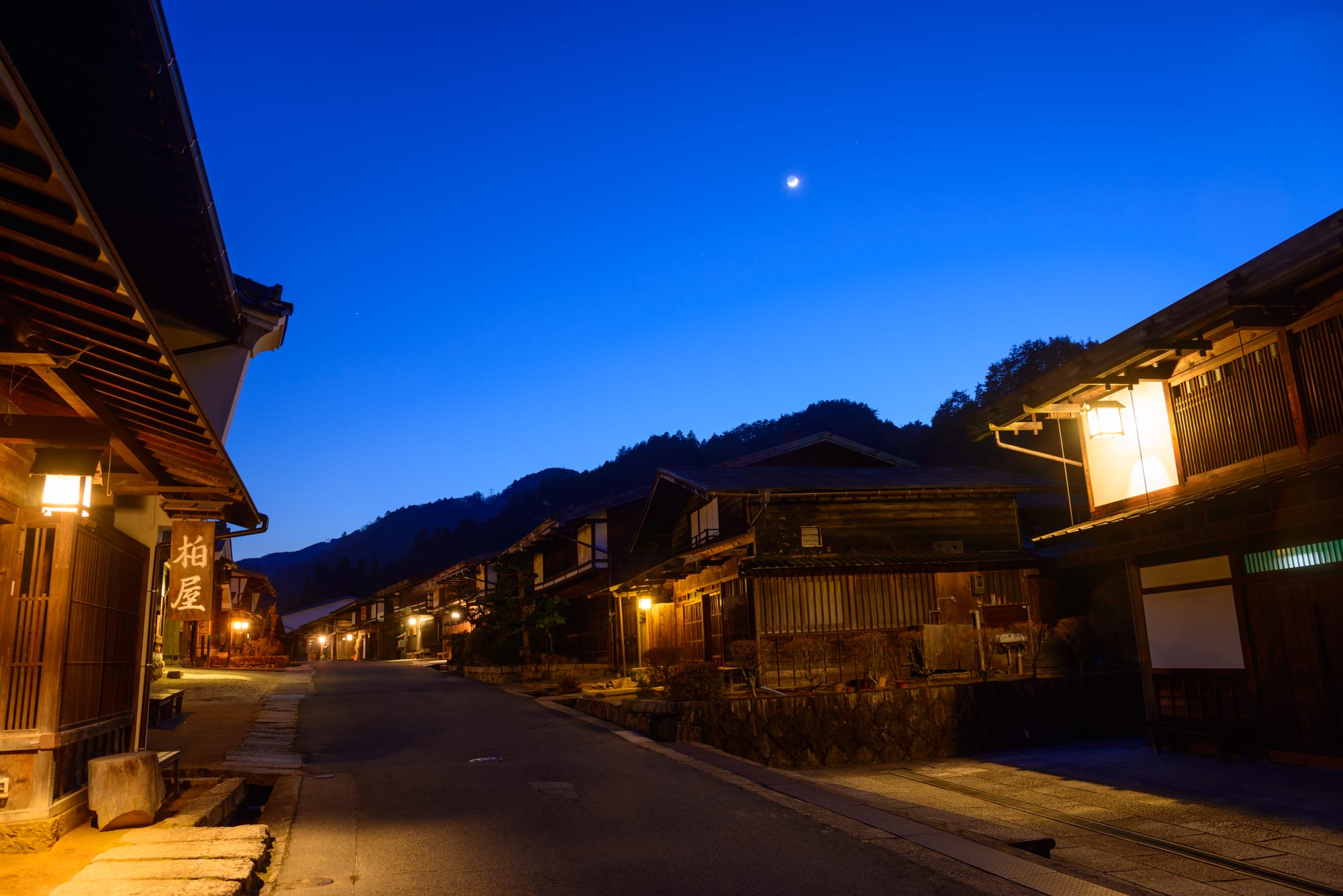
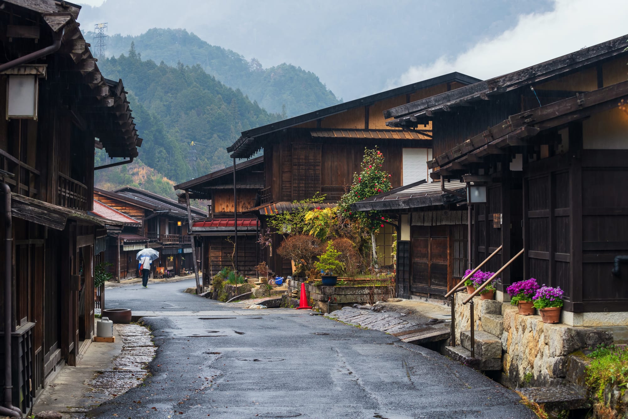
Tsumago-Juku to Magome-Juku Trail
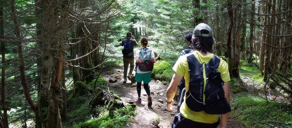
This trek follows the historic Nakasendo postal road, once used during the Edo period for travel between Kyoto and Tokyo. Located in the Kiso Valley on the border of Gifu and Nagano Prefectures, the cobblestone path passes through forests and beautifully preserved post towns that have been restored to their traditional appearance.
The walk between Tsumago and Magome is about 8 km, making it an easy and rewarding hike for beginners. Along the way you'll see traditional houses, small shrines, and mountain scenery that looks much as it did centuries ago.
Hiking time: 2–3 hours
How to get there:
- How to get there
- From Nagoya Station, take the JR Chuo Line to Nakatsugawa Station (approx. 70 minutes).
- At Nakatsugawa, transfer to the bus bound for Magome (approx. 30 minutes).
- Start the hike in Magome and walk to Tsumago.
- From Tsumago, take a bus to Nagiso Station, then the JR Chuo Line back to Nagoya.
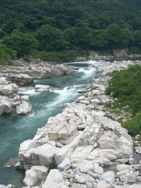
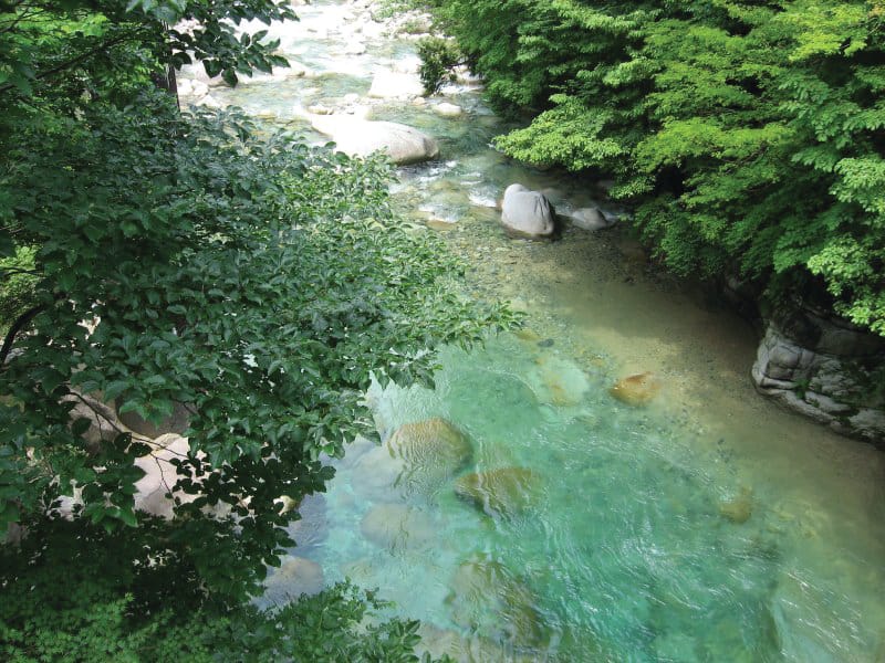
Kakizore Gorge
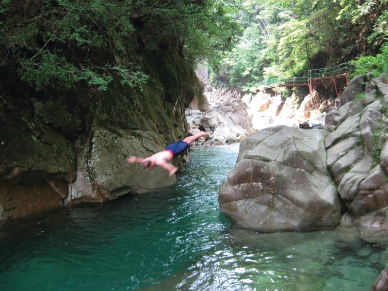
Also located in the Kiso Valley, Kakizore Gorge is a quieter hiking destination featuring a beautiful creek, a waterfall, and clear mountain water flowing between polished stone walls.
The walk itself is relatively easy and can be done at a relaxed pace. In summer, adventurous visitors sometimes cool off in the chilly water along the rocks.
Be sure to check train schedules in advance — local trains in the area can run only every couple of hours.
Hiking time: 2–3 hours depending on how long you stay by the water.
Website
How to get there
- From Nagoya Station, take the JR Chuo Line to Nakatsugawa Station (approx. 70 minutes).
- Transfer to a local train to Nojiri Station (approx. 40 minutes).
- From Nojiri Station, take a taxi (10–15 minutes) or walk about an hour to Kakizore Gorge.
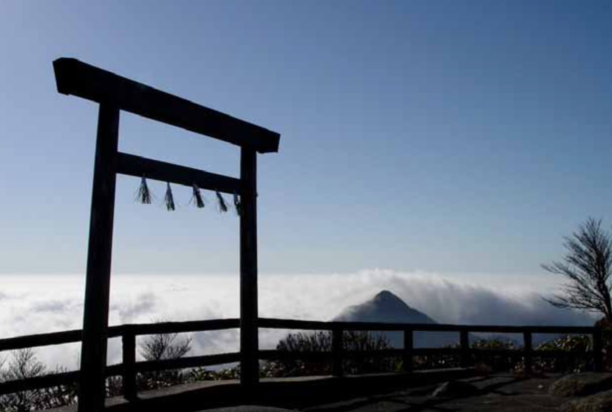
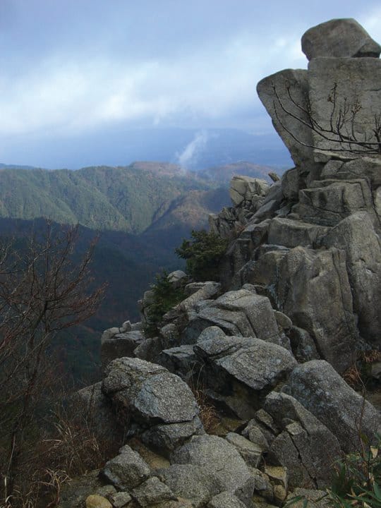
Mt. Gozaisho
Mount Gozaisho, located in Mie Prefecture, is one of the best-known peaks in the Suzuka mountain range. At 1,210 meters, it offers spectacular views across Ise Bay, Lake Biwa, and even the Japan Alps on clear days.
You can hike all the way to the summit, or take the Gozaisho Ropeway partway up from the hot-spring town at the base of the mountain. Even if you take the ropeway, there are several trails around the summit area worth exploring.
Hiking time: 4–6 hours depending on route.
Website
How to get there
- From Nagoya Station, take the Kintetsu Line to Yokkaichi Station (approx. 40 minutes).
- Transfer to the Kintetsu Yunoyama Line to Yunoyama Onsen Station (approx. 50 minutes).
- From the station, take a bus or taxi to the Gozaisho Ropeway base (approx. 10 minutes).
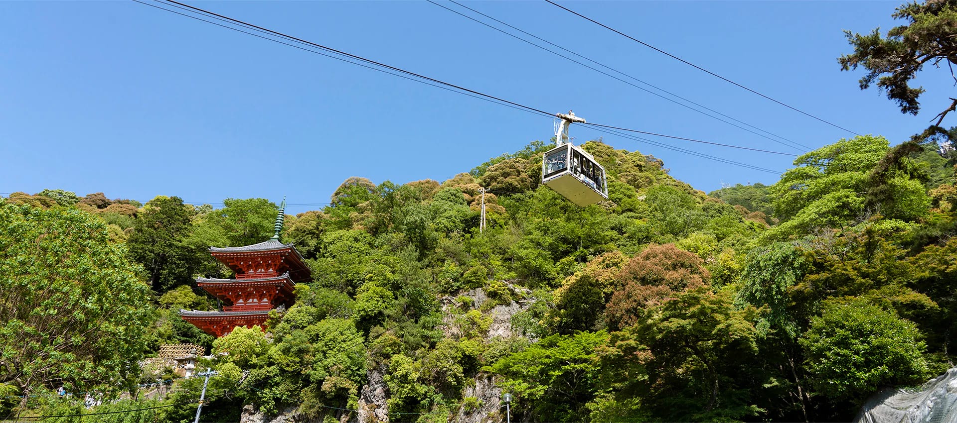
Mt Kinka & Gifu Castle
Mount Kinka rises above Gifu City, overlooking the Nagara River. At the summit sits Gifu Castle, famously associated with Oda Nobunaga, who used it as a base during Japan's unification period.
Several hiking trails lead to the top, ranging from gentle forest walks to steeper climbs. Along the way you'll pass a few unusual attractions, including an insect museum and a small squirrel park.
For a quicker visit, the Mt. Kinka Ropeway carries visitors to the summit in about five minutes. From the top, the views across the city and river are excellent.
Hiking time: about 1 hour to the summit.
How to get there
- From Nagoya Station, take the JR Tokaido Line to Gifu Station (approx. 20 minutes)
or the Meitetsu Nagoya Line to Meitetsu Gifu Station (approx. 30 minutes). - From either station, take a Takatomi bus bound for Gifu Park Historical Museum (approx. 15 minutes).
- From the bus stop, it's a 3-minute walk to the Mt. Kinka Ropeway or trail entrances.
Mt Tado
Mount Tado sits near the border of Mie and Gifu Prefectures and rises about 400 meters above the surrounding plains. The mountain is home to Tado Shrine, known for the dramatic Age-Uma horse festival held each May.
The hike to the summit is relatively short but rewarding, and the shrine complex at the base is worth exploring before or after your climb. In summer, nearby streams provide a welcome place to cool down.
How to get there
- From Nagoya Station, take the Kintetsu Line to Kuwana Station (approx. 20 minutes).
- Transfer to the Yoro Railway and get off at Tado Station (approx. 30 minutes).
- Tado Shrine is about a 10-minute walk from the station.
Mt Ibuki
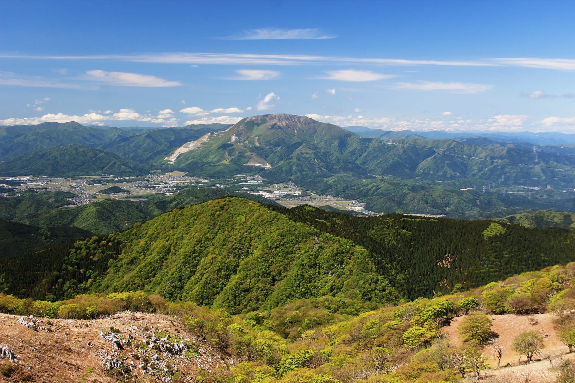
At 1,377 meters, Mount Ibuki is the highest mountain in Shiga Prefecture and offers sweeping views across Lake Biwa.
The mountain is known for its summer wildflowers, which cover the slopes in color during the warmer months. The climb is steady rather than technical, but it can take a good half-day to complete.
One striking feature of Ibuki is the visible limestone quarry carved into part of the mountain — a reminder of Japan's long relationship between natural landscapes and industry.
Hiking time: 4–5 hours round trip.
How to get there:
- How to get there
- From Nagoya Station, take the JR Tokaido Line to Maibara Station (approx. 40 minutes).
- Transfer to the JR Biwako Line to Omi-Nagaoka Station (approx. 10 minutes).
- From there, take a bus to the Mount Ibuki trailhead (approx. 30 minutes).

Whether you're looking for history, mountain views, forest trails, or simply a break from Nagoya's summer humidity, the mountains surrounding central Japan offer plenty of rewarding day hikes within easy reach of the city.
Pack water, start early, and enjoy the cooler air above the plains.
Nagoya Buzz is a weekly guide to events, food, and the things that make this city worth paying attention to. More where this came from on our Events page.
→ See what’s happening in Nagoya this week!


Leave a Comment